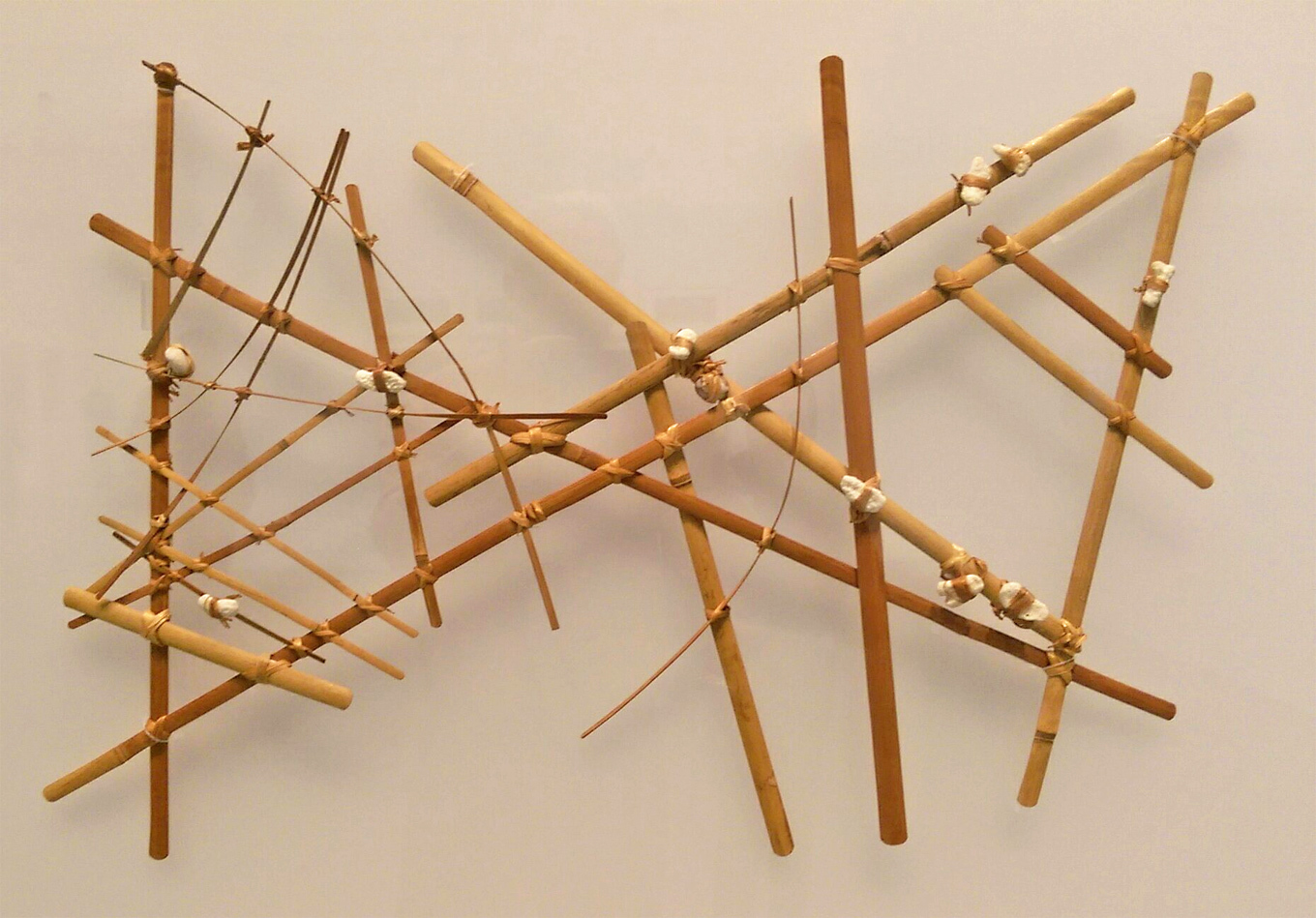
Stick charts, navigation chart of the Marshall Islands, wood, sennit fibre (rope) and cowrie shells, n.d.
type
Photography
created
posted
2023-09-01
classification number
description
Stick charts are nautical charts produced by the inhabitants of the Marshall Islands to help them find their way around the ocean and to find their way to the various islands in the Pacific. On these charts, the islands are represented by small shells and the intersections mark the crossing of opposing swells and their movement (by the large semi-circular sticks). The accuracy of these maps is such that they can be superimposed on maps made by modern means. Their use came to an end after the Second World War. (Wikimedia)
from outer collection
user rights
Utilisation documentaire à des fins de recherche académique dans le cadre de la plateforme Problemata.